
Volume 4 Issue 7, July 2011
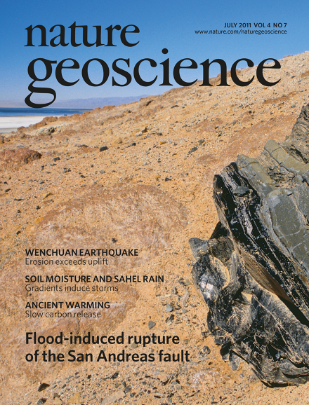
The southern San Andreas fault terminates in a stepover zone — several small faults that separate major fault segments — beneath the Salton Sea. Analysis of movements on the stepover zone faults indicates that periodic flooding of the palaeo-Salton Sea during the late Holocene could have triggered earthquakes on the San Andreas fault. The image shows a large obsidian boulder that rests on the slope of Red Hill at the southeast edge of the Salton Sea, California, USA. The salt-encrusted shoreline of the Salton Sea is visible in the distance. Photo by Jenny E. Ross.
Editorial
-
Advertisement
