
Volume 1 Issue 3, March 2008
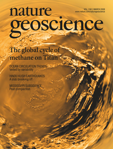
Despite Titan's cold temperatures (about 93.7 K at the equator), fluvial and atmospheric processes are active on this moon of Saturn, with methane playing a similar role to water on Earth. However, Titan lacks a global methane ocean, and rainfall appears to be episodic. The image shows a fish-eye projection of Titan's surface from a distance of about 5 km, taken with the descent imager/spectral radiometer onboard the European Space Agency's Huygens probe, on 14 January 2005. Copyright ESA/NASA/JPL/University of Arizona.
Cover design by Karen Moore
Editorial
-
Advertisement
