
Volume 3 Issue 2, February 2010
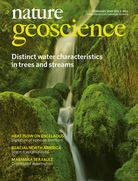
Water movement in upland humid watersheds from the soil surface to the stream is often described using the concept of translatory flow, which assumes that water at any soil depth is well mixed. A study of water isotopes in an Oregon watershed instead suggests that trees and streams tap into separate water reservoirs. This image shows a headwater stream at the H. J. Andrews Experimental Forest in western Oregon. Image courtesy of Matthew Betts.
Editorial
-
Advertisement
