
Remote sensing data for changes in land use
- Submission status
- Open
- Submission deadline
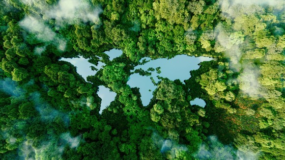
How natural and urbanised land is managed and modified is determined by developments in agriculture, industry, and the economy, with remote sensing being a key method for observing large-scale changes in land use. Human development can threaten the atmosphere, natural environment, and resources through urbanisation; understanding what types of land need protection is of great importance to policy making and sustainable management of land resources.
This Collection comprises a series of articles presenting data on changes to land use in urban areas, farmland, forests, and natural environments, as determined using remote sensing techniques. Data may be collected through satellite, aerial or UAV imagery and other sensor technologies.
Editors
-
Jinwei Dong
Chinese Academy of Sciences, China
-
Gregory Giuliani
University of Geneva, Switzerland
-
Yuyu Zhou
Iowa State University, USA


