
Volume 5 Issue 6, June 2012
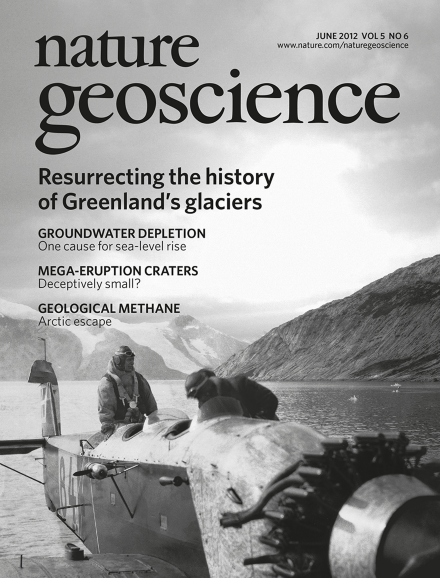
Both marine- and land-terminating glaciers in southeast Greenland have experienced dramatic recent retreat. An 80-year record of historical aerial photographs and satellite imagery shows that many land-terminating glaciers in this region retreated more rapidly in the 1930s than today, whereas marine-terminating glaciers have retreated more quickly in the 2000s. The image shows the Heinkel hydroplane in a southeast Greenlandic fjord.
Article p427; News & Views p369; Editorial p365
COVER IMAGE: DANISH ARCTIC INSTITUTE
COVER DESIGN: DAVID SHAND
Editorial
-
Advertisement
Correspondence
In the press
Research Highlights
News & Views
-
Methane uncovered
Focus:
