
Remote sensing of Earth hazards
- Submission status
- Closed
- Submission deadline
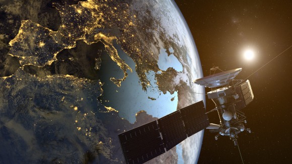
The dynamics of our planet can be better understood by utilising the wealth of imaging bands, modes, spatial scales and temporal observation capabilities offered by remote sensing. This Collection gathers research Articles that use space-borne, aerial, and ground-based remote sensing based on UV, visible, IR, microwave and radio bands of the electromagnetic spectrum to study geophysical, hydrological, meteorological and climatological Earth processes and hazards.
Editors
-
Francesca Cigna
National Research Council (CNR), Italy


