
Volume 3 Issue 10, October 2010
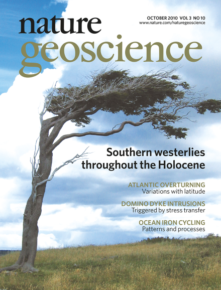
Shifts in the position and intensity of the southern westerly winds recorded at single sites have been suggested to reflect uniform variation throughout the wind belt. Sedimentological analyses from the Andes suggest that changes in wind intensity in the core and northern margin of the westerlies were antiphased during the Holocene epoch. The image shows a tree in Tierra del Fuego, Argentina. Image courtesy of Marion Lely.
Editorial
-
Advertisement
